Construction
- Site/Project Documentation:
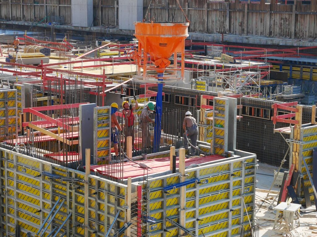
- Web-based pointclouds can help keep stakeholders informed during the project, especially for those that can’t make it to site. As well, site update imaging serves as a valuable tool for identifying the progress and pinpointing any deviations. Regular updates allow for a chronological review, enabling the early detection of errors, potentially saving significant costs.
- Orthophotos:
- Top-down orthometric images provide scaled reference points for pre-planning processes. These geo-referenced images can be seamlessly integrated into GIS software, ensuring alignment with project plans. Even planning features like parking lots can benefit from orthometric images, maximizing space and ensuring compliance with regulations regarding sidewalk and pathway dimensions.
- Cut and Fill:
- Offering cut and fill calculations for various purposes, the primary application is pre-work estimates. This service aids in understanding the volume of earth removal or filling required, critical for budgeting and project efficiency. Photogrammetry, enhance survey accuracy in challenging terrains, contributing to faster and safer operations compared to traditional methods.
- Volume Pile Calculations:
- Utilizing photogrammetry, stockpile calculations can also help predict trucking costs. Precise volume calculations are conducted based on the surrounding ground planes. Drones facilitate an efficient process without disrupting daily operations, flying above machinery while maintaining safety.


Mining
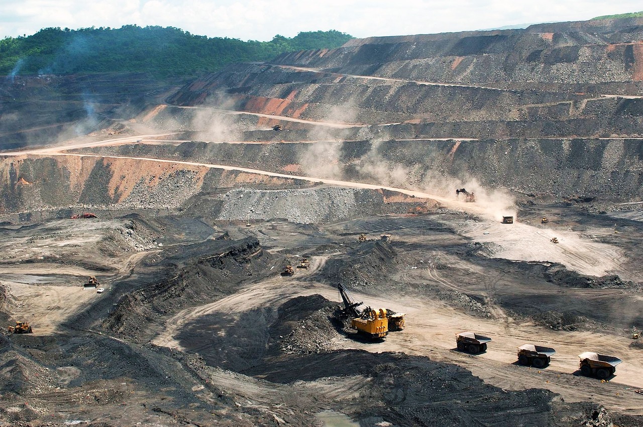
Drones serve as valuable assets in the mining industry, providing critical information and support across various facets. Their contributions lead to improvements in safety protocols, operational efficiency, and environmental compliance.
- Inspections:
- Equipped with high-resolution cameras and sensors, drones facilitate thorough inspections of mines, quarries, and extraction sites to ensure adherence to safety and environmental regulations. This capability aids in the early identification of potential issues like unstable terrain, equipment malfunctions, or leaks, enabling prompt and necessary repairs.
- Mapping:
- Photogrammetry can contribute to the creation of precise and up-to-date digital maps of mines and quarries. These maps serve strategic planning and logistics purposes by providing accurate spatial data.
- Environmental Monitoring:
- Drones play a pivotal role in monitoring the environmental impact of mining activities, water quality, and land restoration progress, and slope calculations. This capability assists in maintaining compliance with environmental standards.
- Volume Pile Calculations:
- Utilizing photogrammetry, stockpile calculations primarily for mines and gravel pits, focusing on monthly reporting and year-end stock monitoring. Precise volume calculations are conducted based on the surrounding ground planes. Drones facilitate an efficient process without disrupting daily operations, flying above machinery while maintaining safety. The service is known for its speed and efficiency, providing detailed reports within 3 to 4 days of data collection, with expedited options available for urgent situations..

Environmental
Drones play a crucial role in addressing various environmental issues. Combined with our experience in environmental geoscience consulting there are a myriad of ways environmental monitoring is made simpler using drones. For examle:
- Water Quality:
- Drones are valuable tools for monitoring potentially harmful algae blooms in lakes through aerial surveillance, multispectral imaging, and thermal sensing. Equipped with high-resolution cameras and specialized sensors, drones can detect and analyze algae blooms in real-time, providing comprehensive data for timely decision-making. Orthophotos of maps of algae blooms can be produced within the day of image collection and subsequent flights can track bloom progression and location trough time.
- Coastal and River Geomorphology:
- As shorelines experience rapid erosion, a breach in a dike or levee can lead to substantial damages and pose risks to lives. We collaborate directly with city engineers to monitor shoreline areas and identify anomalies, aiming to mitigate these risks. Our time-lapse comparisons swiftly reveal areas that have shifted, eroded, or undergone mechanical changes, prompting timely attention before significant rainfall events. Photogrammetry data aids in identifying thin or low areas in dykes, providing pre-failure data for studying and identifying future areas of interest to prevent future events.
- Natural Disaster Emergency Response:
- Post-natural disasters, whether from hurricanes, fire, or ice storms, delivering information rapidly to teams regarding damage severity and locations expedites repairs and restoration. We partner with municipalities to capture post-event data, thermal imaging for hotspot mapping and wildfire response teams, 3D models for city planners and public works, and photos for council and internal purposes. This comprehensive approach keeps incident response teams informed about the severity, progress of work, and aids public relations efforts by showcasing the affected areas and the city’s response.